 |
|
 |
|
Ontario Part 4: July 14 - July 19
Thursday,
July 14
Bike
log: 113.0km, 573m of vertical, avg. speed 26.9 km/h

July
14 –Elmvale to Balsam Lake Provincial Park
It
was a humid one out there today! There was also a reasonably strong
headwind for a good part of the day as well, and those two factors
definitely slowed me down today. But it was a beautiful ride on
country roads for much of it. Only the bit just east and west of
Orillia was tough to deal with. Otherwise, we were travelling through
farmland on country roads with little traffic. For me, it is starting
to look very familiar, much the same as eastern Ontario where I lived
for many years. I did a lot of bike riding around roads similar to
this a long time ago. I am trying to pick a route towards Brockville
that is mainly on backroads, so hopefully it will stay like this for
some time. The heatwave is projected to be settling in for a good
while here, so most likely the next few days will be quite similar.

Cheryl at Lake Couchiching
We
went swimming several times today! I took a break from about 1 to 3PM
due to the heat, and we went swimming in Lake Couchiching in Orrilia.
I went straight from the bike to the water as soon as I got there,
and just bobbed for about 10 minutes. Then, after some lunch, we went
back in just before getting moving again. Made the first half hour or
so pretty bearable.
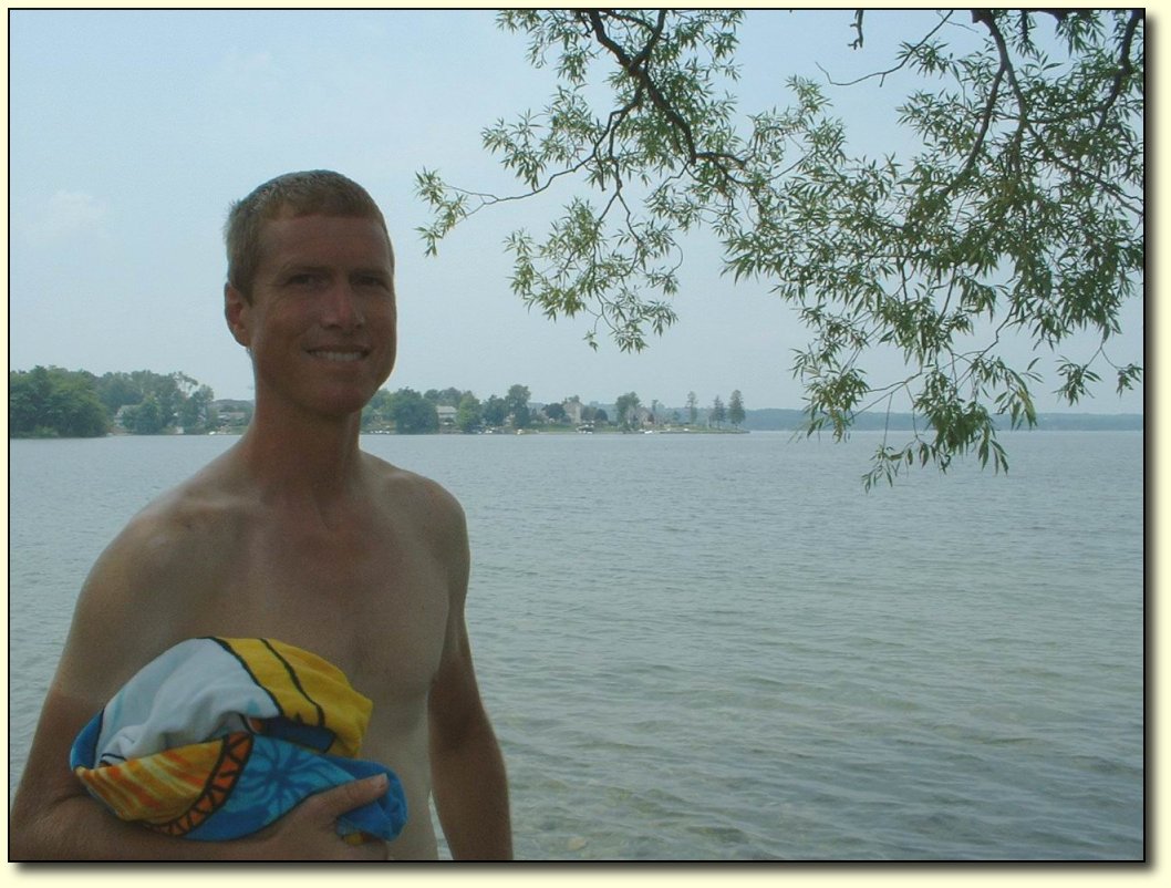
Me taking a break in Orillia
I
drank close to 6 litres of water today. When the hot weather started
in, I started wearing a headband to keep the sweat out of my eyes.
However, I had to give up on it today because it was just too hot –
and it was not really helping anyway! Once you get past a certain
point of meltdown, there is not much that can be done. I also stopped
wearing my bike gloves since my hands were just too hot in them. I am
not concerned about getting heat stroke, but I am concerned that the
local health authorities are going to cart me away to a mental
institution if they spot me out riding in this weather. I was told to
avoid Midland for this reason.
I
stopped for an ice cream in a variety store in the middle of nowhere
(just outside Dalrymple, actually), and got chatting to a farmer who
was hanging out inside in the airconditioning. He said that it is
shaping up to be a pretty bad year for his crops due to the heat and
lack of water. There has been very little rain since April, and what
little bit that has been falling lately disappears immediately due to
the heat. It is weird how we went from floods on the prairies, to
rain and cold in Northern Ontario, to this. If you average it out, it
seems pretty good though!
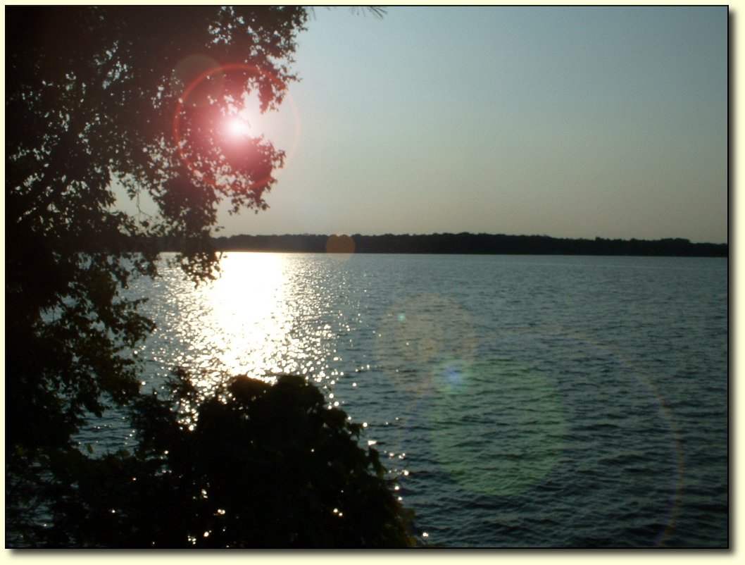
Sunset at Balsam Lake
This is a very nice, and very large, campground. We went swimming as soon as we got to the
campsite (we are across the road from the lake) and again just now
before going to bed. Things have cooled down too, and there is now a
nice breeze blowing in off the lake, which our pop top is catching
very nicely! Should be no problem sleeping tonight.
|
|
 |
|
 |
|
|
|
|
|
|
 |
|
Friday,
July 15
Bike
log: 109.0km, 620m of vertical, avg. speed 26.6 km/h
July
15 –Balsam Lake Provincial Park to Stonyridge
The
heat let up a bit today – definitely a relief! Still plenty hot,
but at least it wasn’t a complete meltdown out there. And there was
a pretty stiff breeze as well to help keep cool. Of course, it was a
headwind for almost the whole day, but it was well worth it.
Lots
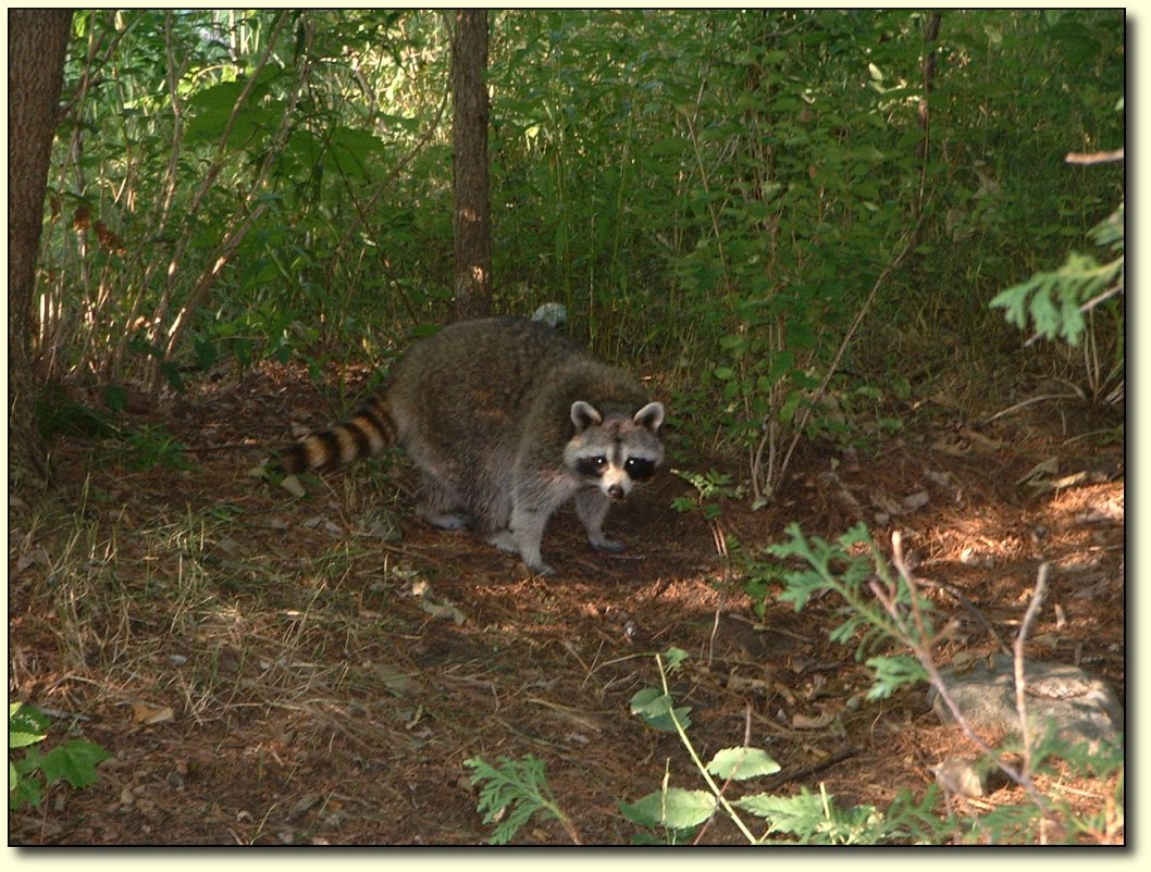
of raccoons around these parts. There was also a skunk that wandered
through our campsite this morning in exactly the same place that this
“little” raccoon was. This guy obviously does not miss too many
meals.

Waterfall near campground
This
is a really nice part of the country to pass through in summertime as
it is cottage country. It is known as the Kawartha Lakes region.
There were many lakes that we passed by, fairly decent sized ones
too. The roads were excellent to ride on – rolling hills through
farmland. Some of the lakes are part of a waterway system known as
the Trent-Severn waterway that is connected by locks.
We
traveled exclusively on secondary highways and backroads today. We
passed through the towns of Coboconk, Fenelon Falls, Bobcaygeon,
Buckhorn, and Woodview. It was a great route, not much traffic
(considering it is Friday and we are in cottage country) and the
shoulders were mostly good. The roads were actually in better shape
than some of the main highways we’ve traveled as well. We wanted to
avoid highway 7 – which goes through Peterborough towards Ottawa -
for as long as possible. Tomorrow is a Saturday, which I am hoping
will be light traffic for that road.
Most
of the towns we passed through would actually be classified as
“towns” in my opinion. This is in contrast to many of the towns
(dots on the map) that we have passed through in other parts of the
country. We are definitely in a more populated region! The towns
actually look like viable concerns as well – not like they are
about to dry up and completely disappear, nor do they appear to be
solely dependent on a single huge factory or mill. Nice to see, for a
change!
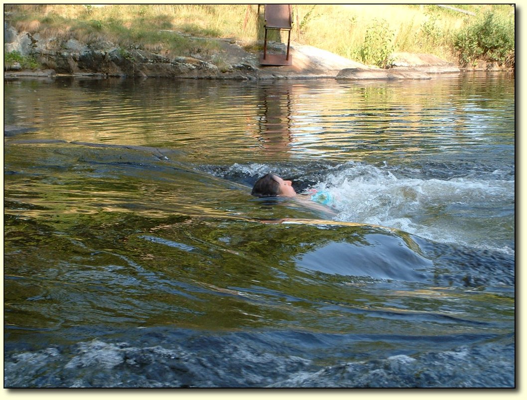
Cheryl shoots the rapids
There
were no good opportunities for a mid-day swim, not to mention the
fact that with the headwind we did not have the time to take off, but
this campsite (Pilgrim’s Rest campground) has a nice little beach
as well as a little river. We shot the rapids too! Click on the image above to see a movie of Cheryl in action.
As
with most of the private campgrounds we’ve stayed in, this one has
its share of trailers that are here permanently, with little decks or
outbuildings hanging off of them. Sometimes I almost expect Ricky and
Julian to show up.
|
|
 |
|
 |
|
|
|
|
 |
|
 |
|
Saturday,
July 16
Bike
log: 131.5km, 581m of vertical, avg. speed 27.5 km/h
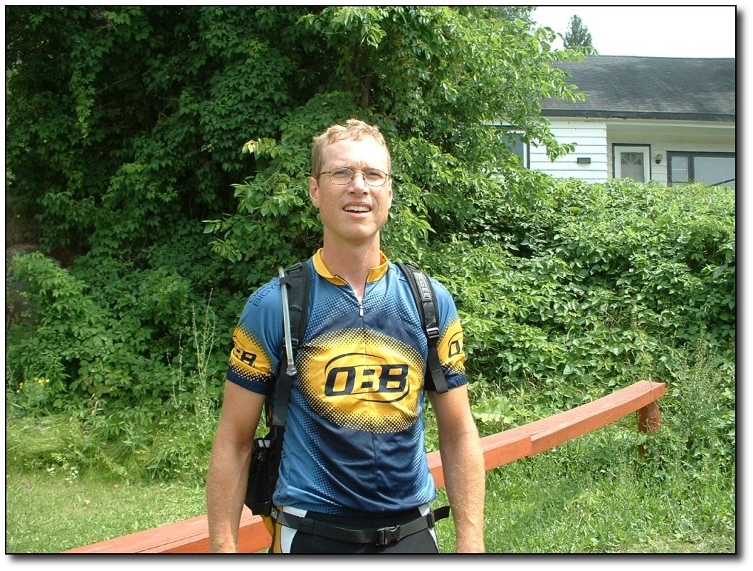
July
16 –Stonyridge to Sharbot Lake Provincial Park
Back
into the heatwave today – hot as ever! Oops, I mean, humid as ever.
Anyway, it got a little uncomfortable out there today!
Today
was not the funnest day yet. The first hour or so, along a background
from our campsite down to highway 7 (the Trans-Canada) was great –
nice little hills, very little traffic, and lots of shade. Then we
were onto the highway, and that was pretty much it for anything
decent. Bad pavement in many places, too much traffic with terrible
drivers, nowhere to swim unless you are a swamp-loving turtle, no
scenery to speak of, very few towns, and heat! And of course, a bit
of a headwind. Had to do about 110km of that to get to this
campground. It was so hot I did not really feel like eating, all I
had was 3 muffins (bought at a roadside stand), an ice cream bar, and
a Coke.
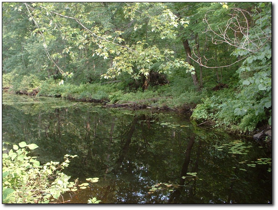
Too swampy to swim
Hopefully
that will be it for the Trans-Canada for quite some time. I am very
glad that we took the north route around Lake Simcoe and stayed off
the highway for as long as possible. Dealing with any area that even
comes close to being within the sphere of influence of Toronto has
been really unpleasant as far as biking goes. The term “complete
moron” might be a bit strong to apply to some of the drivers,
perhaps “imbecile who wants to risk dying in a fiery car crash for
the chance to save perhaps 3 minutes of driving time” is more
appropriate. 99% of drivers are very considerate, but the imbeciles
do kind of set the tone by tailgating and passing recklessly. Getting
off the main roads and onto backroads is definitely the way to go,
even if it is less direct. No doubt Montreal will be much the same,
which is why we are attempting to bypass it to the north as much as
possible. Tomorrow, we are off the highway and taking secondary roads
down to Brockville – should be much more pleasant than today. And
of course, we stop at my parents house, have a swim in the pool, and
enjoy a day of rest!
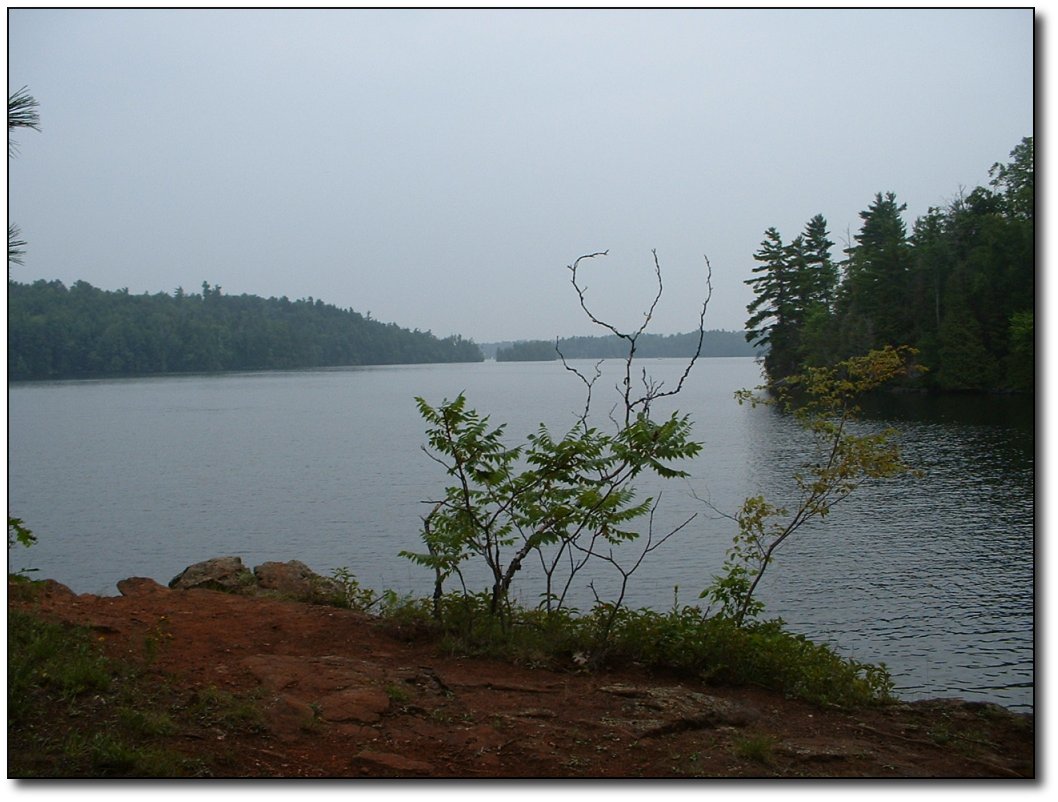
Sharbot Lake
This
campground is quite nice – lots of trees and nice size lots, and a
sandy beach on a lake to swim in. A very nice little lake, popular
with cottagers from Ottawa I suppose. Staying in a private
campground, as we did last night, does make you appreciate what the
provincial parks have to offer. In general, you get way better
scenery and a much nicer, more private site. However, the provincial
parks loose a few points for convenience in some ways compared to the
private ones. There are not enough “real” bathrooms, and there is
no water outlet at your campsite – there are only a few taps
scattered through the park. And someone in the ministry of parks
decided that they needed to reinvent the water tap. No simple twist
valve here. Instead, there are these big torpedo shaped valves that
require an enormous upwards thrust to activate. They have 1 speed as
well – flood! You will get soaked using them, guaranteed, and there
is no way you will get it to open if you are in any way feeble.
However, I have to give the Ontario parks points over the ones in BC
for realizing that people actually want to use them – and having
lots of parks with lots of sites! Today, a Saturday in mid July, we
were able to arrive at the park around 5PM and get a spot with no
reservation. Don’t try that at home!
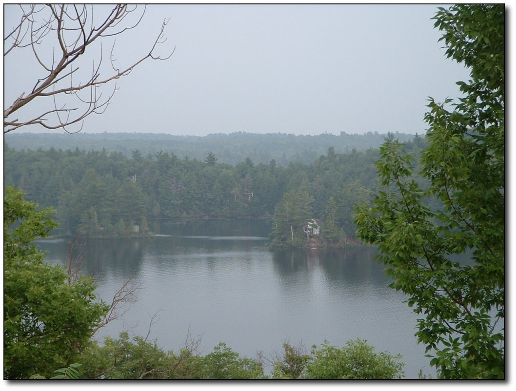
Nice cottages!
Despite
the fact that we are in the middle of a heat wave, many of the
campers around us have a campfire going, and it is only 8PM. I find
that a bit strange, but maybe it’s because I am still rather hot
from riding today. I am going to be heading back down to the lake for
another dip before bedtime – despite the weeds!
You
can tell the heat is getting to me a bit – this is a pretty
negative journal entry! I’m looking forward to a change of pace
after the rest day.
|
|
 |
|
 |
|
|
|
 |
|
 |
|
Sunday,
July 17
Bike
log: 114.0 km, 617m of vertical, avg. speed 29.1 km/h
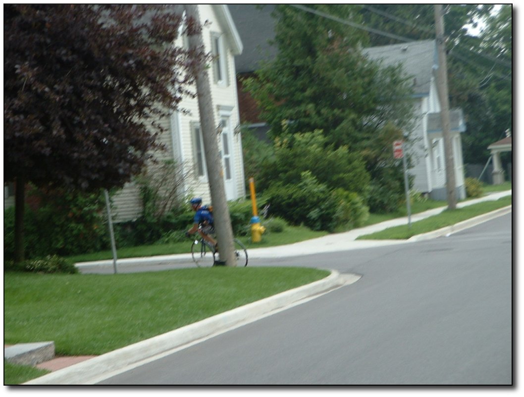
July
17 – Sharbot Lake to Brockville
Made
it to the old homestead! Kind of a neat feeling, to ride into the old
home town, having come all this way. As I got closer in to town,
things started to look more and more familiar. Cheryl is not familiar
with Brockville, so we met just on the outskirts, and then she
followed me in! Actually, she had directions but I was pretty anxious
to hit the pool so I passed her and raced ahead for the last few
blocks. She took this picture of me from the van as I cornered onto
Ann St. where my parents live.

About 5000 km to here
Incidentally,
I have always said that my parents live “about 5000km away”. At
the end of today, we are at 5,026km for the trip – pretty close!
However, my parents will soon be moving to Victoria – in fact they
will be moved out there before Cheryl and I get back. So this is my
last visit back to the old house, and probably the last time to
Brockville for quite some time. It is nice that it is part of this
larger trip as it takes the edge of what could be a sad goodbye. It
is also very strange to think that when we get back to Victoria my
parents will already be living there!
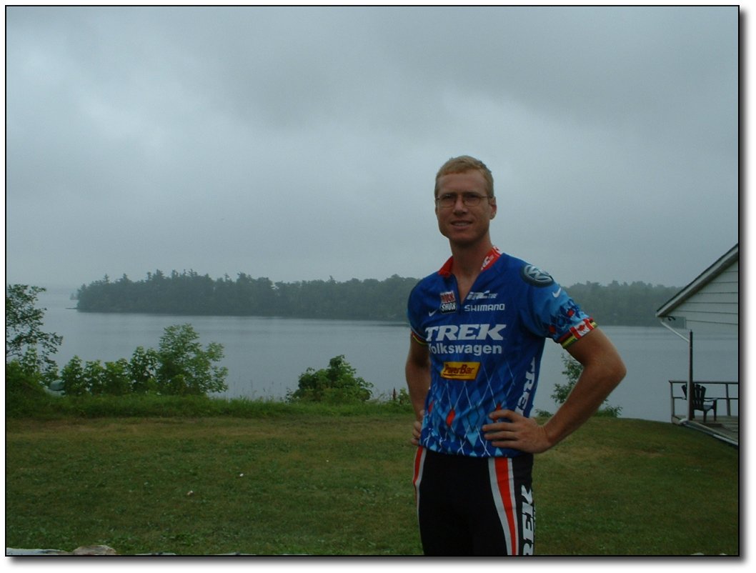
Scenic ride
It
was a really great ride today (though still as hot as ever, and had
to deal with a minor headwind for the first half). We were on
backroads and secondary highways all the way in from Sharbot Lake.
Very scenic and lots of small towns and villages to pass through. As
we go east, in a sense we are going back in time in terms of the age
of the towns. Many of these villages have been around way before
Victoria was on the map. They were probably a bit more bustling then
as well. It is strange to ride for a half hour or so through farm
land, then come to a crossroads with a couple of buildings and a big
church and a railway station! It’s also neat (and different
compared to BC or the part of Northern Ontario we’ve come through)
that there are many intersections and side roads that actually go
somewhere – to more towns, or a lake, or whatever. It is more like
being on a grid, rather than living along a single dimensional strip
of highway with towns every so often. It would take a long time to
explore it all! A cyclist’s dream as well, you could pick a
different training route every day.
|
|
 |
|
 |
|
|
|
 |
|
 |
|
Monday,
July 18
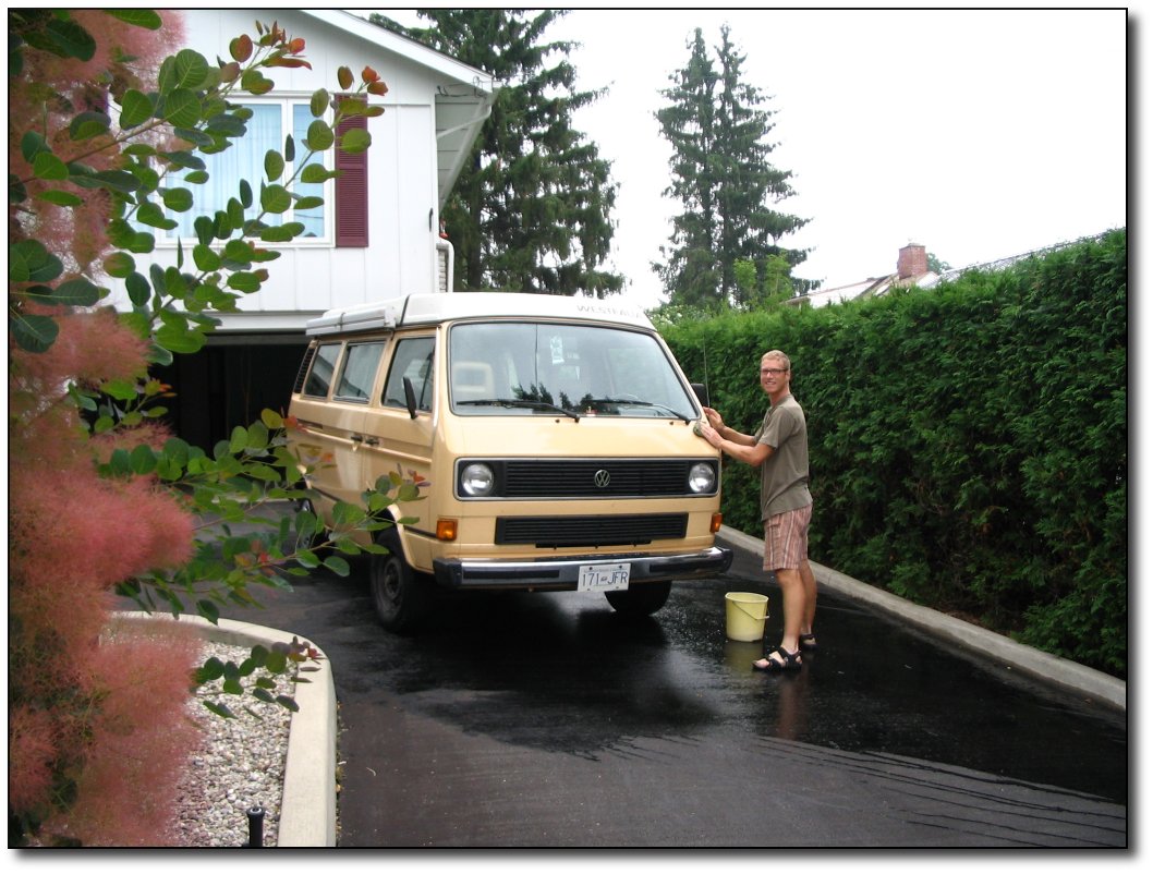
July
18 – Rest day in Brockville
Took
today off and got some rest! It has been 8 days since the last rest
day, and we have traveled over 1000km in that time through some
serious heat! I did some much needed cleaning of the van, inside and
out, and gave mom and dad a tour of the van.
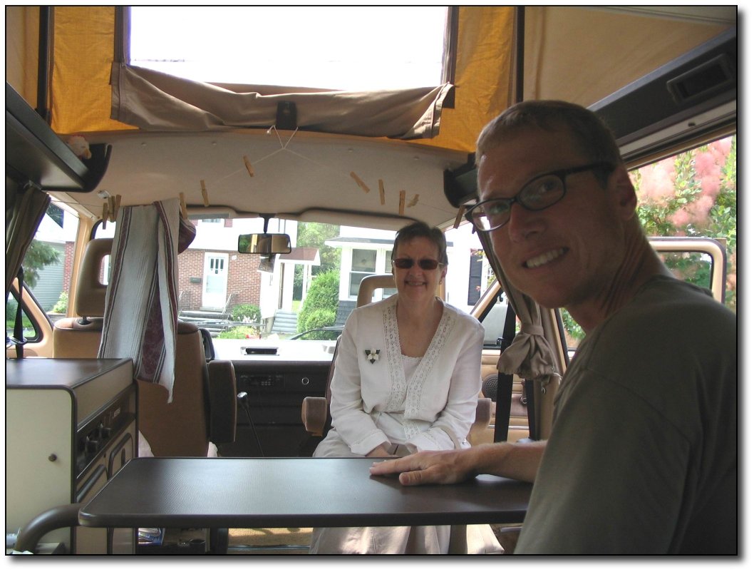
Van tour
Cheryl did not take the
day off, she walked for an hour up to the YMCA, worked out, then
walked back. When she got back – surprise – we hit the pool
again! The heat wave is still on here, although the forecast is for
the humidity to let up a bit tomorrow.
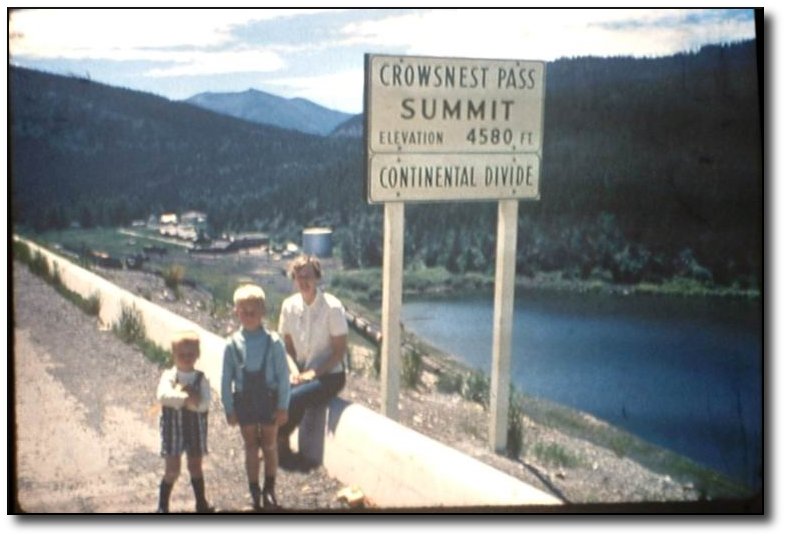
Crow's Nest Pass
After dinner, we went through some old slides. This was taken
about 35 years ago at the pass we just crossed about 35 days ago.
The one on the left is me.
|
|
 |
|
 |
|
|
|
 |
|
 |
|
Tuesday,
July 19
Bike
log: 137.4 km, 376m of vertical, avg. speed 31.8 km/h
July
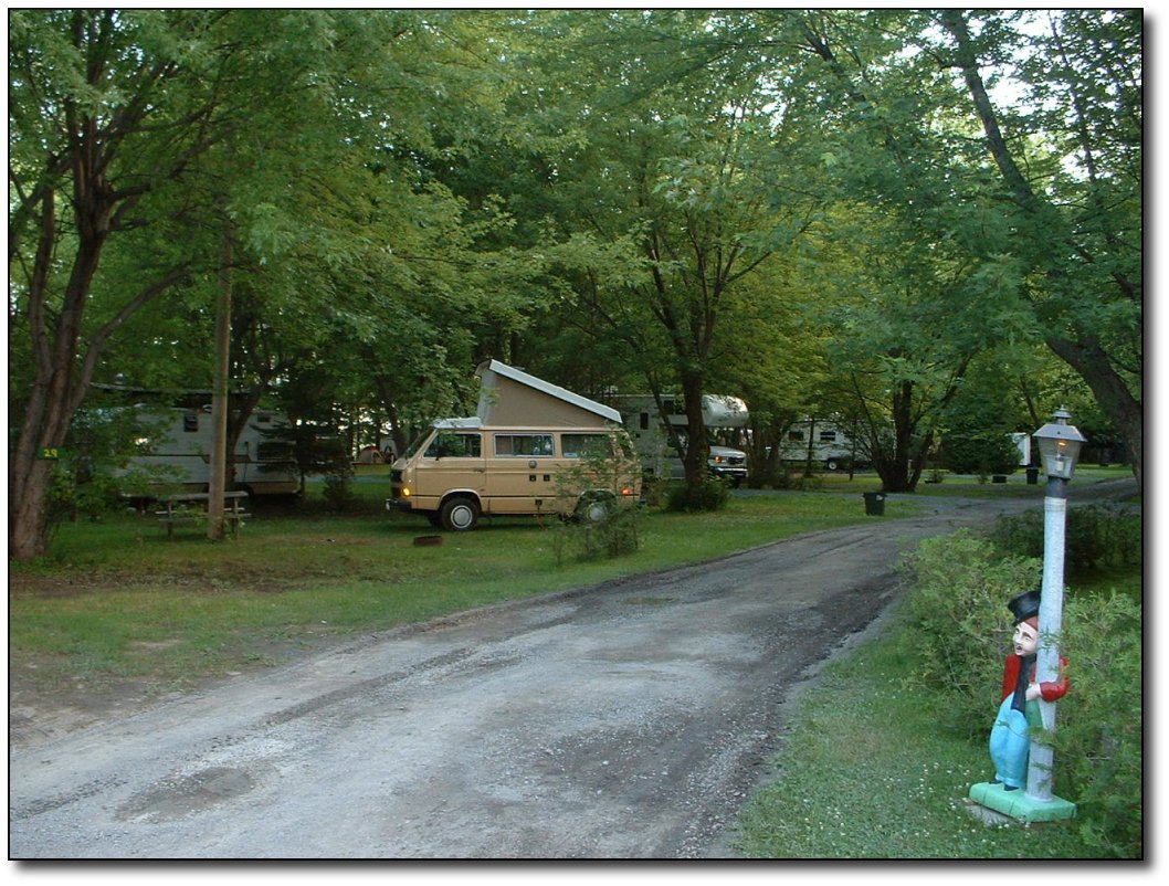
19 – Brockville to Bainsville (about 2km from Quebec)
Back
on the road today – with a tailwind! It has been a while since I
had a tailwind, I had almost forgotten what it was like to have one.
Good thing it was there though, it was still hot and humid today, and
as is often the case after a rest day it took a while for me to get
back into the groove. I am not sure why that is, but it often
happens. Maybe I get so used to the comfort of “civilization”
that it is difficult to face up to the challenge of grinding through
the heat. Anyway, after a couple of fairly sluggish hours I did start
to get back into it.
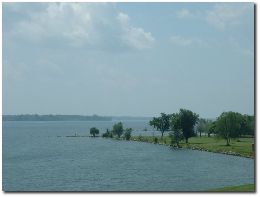
Views
along the St. Lawrence River
It
was an excellent route today. I was on highway 2 almost the whole way
(except for a minor detour through Williamstown and Lancaster to
avoid Cornwall). This is the old road between Toronto and Montreal,
before the 401 was built, and is only lightly used these days. The
road follows the St. Lawrence river, which is visible for much of the
trip. The road is in very good shape, with a decent shoulder much of
the way, and there is even a bike lane for a bit! Beautiful views of
the river for many parts as well.
The
road is the “main street” through a number of small towns, like
Prescott, Cardinal, Long Sault, and Morrisburg. These towns are old
by western standards and there are plenty of cool old stone buildings
in the towns. Between towns, there is a lot of farmland, but also
some really nice homes all along the St. Lawrence river, as well as a
fort or two left over from the war of 1812!
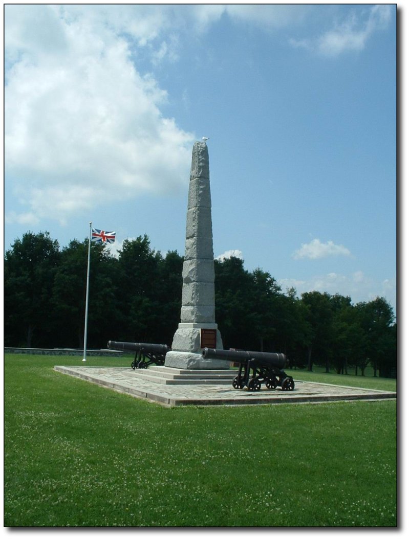
Monument
The
monument in this photo commemorates the battle of Crysler farm, where
“we” routed an American invasion force even though we were
outnumbered 5:1. I believe the Canadian forces still use the cannons
in the picture, and the guard-seagull on the top of the monument is employed in our air force.
You
can gauge how old a town is by how big the cemetery is. Some of these
tiny little towns have really big cemeteries! I also saw a building
that was built in the 1700’s. Ok, it was 1799, but still, that’s
old by my standards!
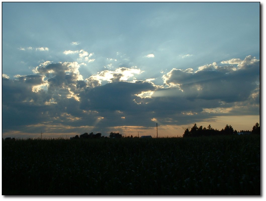
Sunset
on Ontario
I
am excited to be close to the border at last! We have been in Ontario
for about 3 ½ weeks, and I am really looking forward to
getting on to the other 5 provinces. Our campground is a little bit
off the main road, so I wasn’t sure how close we were to the border
– maybe it’s just down a country road or something, and I thought
I might sneak over tonight just to get out of the province
temporarily. So I asked someone who works here how far it was to the
province of Quebec from here. The reply was “45 minutes to the
airport.” Fairly low content of useful information in that
response, but I suppose it’s good to know I can get on a plane so
quickly if I need to.
I
later checked my GPS, which tells me that I am only 2km from the
Quebec border. However, I am not taking the direct route into La
Belle Province. Instead, I am heading north about 50km to the bridge
at Hawksbury, and then following along some secondary highways well
to the north of Montreal (through Lachute and Joliette). One thing is
for sure – if I thought that Toronto drivers were annoying, I am
sure to find Montreal drivers, umm, really annoying. Best to avoid it
as much as possible!
I
saw 3 other cyclists today. Two of them were a couple from New
Hampshire, touring around this area, and the third was a gal from
Peterborough on her way to the Laurentians for week or so. Today was
great riding, they all seemed to be thoroughly enjoying it.
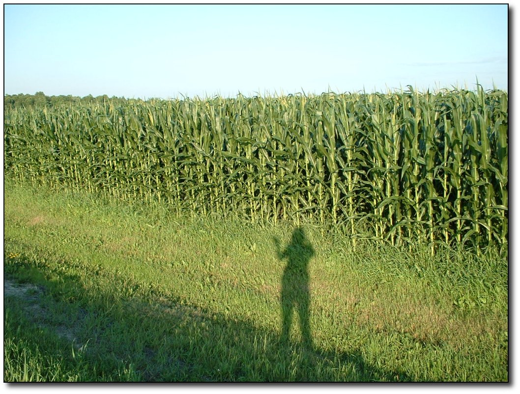
Goodbye Ontario
I think
that if I were to repeat the last few days of my ride, I would not
have come along highway 7 after my sting in the Kawartha lake region,
but rather cut down right away to highway 2 and then headed east.
More distance for sure, but more enjoyable too. Live and learn!
Continue into La Belle Province
|
|
 |
|
 |
|


