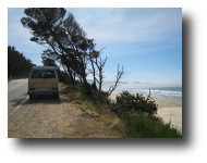
|
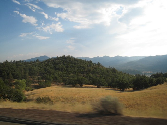
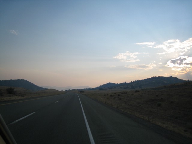
We hit I5 near Sutherlin and headed South. It wasn't too long before we hit California. But,
it continued getting hotter and hotter. There are a number of
long mountain passes in southern Oregon and I didn't want to push the
van too hard going up them - there were lots of cars overheated on the
side of the road and I didn't want to join them!. The views from
the tops of the passes were great, however.
Although one of our reasons for leaving the coast and heading inland was to get some warmer weather, it soon became
ridiculously hot. We stopped at one town for lunch (in an air
conditioned restaurant) and noted that a thermometer on the main street
was reading 114 degrees F. That is not a lot of fun to drive in when
you don't have air conditioning. When it's that hot and you roll the
windows down, the hot air blasting at you is like a hair drier and
actually makes you hotter! So, we went for the continuous water dowsing approach.
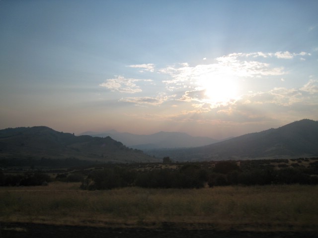
There
was a bit of haze on the horizon which became more noticeable as the
sun lowered. We weren't sure what that was caused by...
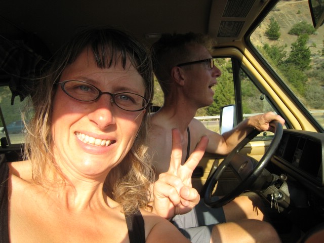
I5
was not very busy in these parts and we were making much better time
than along the 101. Still, with it being so hot, we were stopping quite
a bit, whenever we spotted somewhere with some shade or even a little
creek to cool down in.
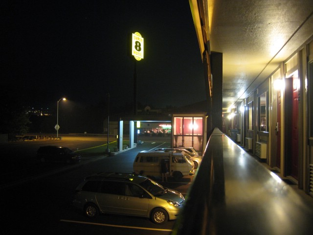
We
thought it might cool down enough at night to camp in, but it did not.
It stayed really hot well after dark, and we opted for an air
conditioned hotel room!
The
weather forecast for the next several days was for the heat wave to
continue. In response to this, we changed our plans once again
and headed back to the coast and went north - back towards home. It was too bad - our
plan had been to make it down to southern CA to visit with my brother,
but days of driving in the heat just didn't seem like a good way to
spend a vacation!
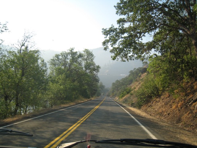
We
took a very scenic route to the coast. This was highway 96, which
followed the Klamath River for much of the way. It was a great
road which probably would be fantastic to bike along, although there is
not much shoulder.
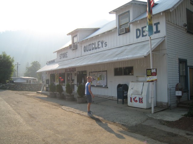
The
towns were pretty sparse for most of the road, but there were
occasional outposts. This place had a weird mix of Nascar
memorabilia and hunting stuff on one side and folksy art on the other.
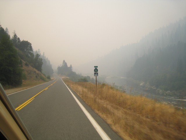
It
wasn't long before we noticed the smell of smoke. Then, we
noticed some signs posted giving directions to fire crews. The
smoke got quite thick (as the above photo shows), and eventually we saw
a busload of firefighters and fire equipment on the side of the road!
This road was not closed, but it was really close to the blaze -
just one mountain ridge over.
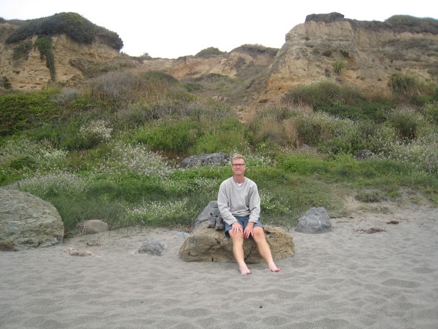
We always try to stop for lunch at a place with a great view.
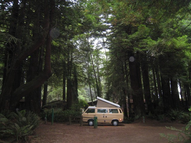
We
stopped pretty early in the day, since the plan was now to take our
time heading back up the coast. This turned out be yet another
great campground.
We've camped in lots of campgrounds, and you can always tell the
ones where the owner really loves the place and puts a ton of effort
into making it nice. We were camped on "Pop Up Circle" - small
but private sites designed with VW vans and tent trailers in mind!
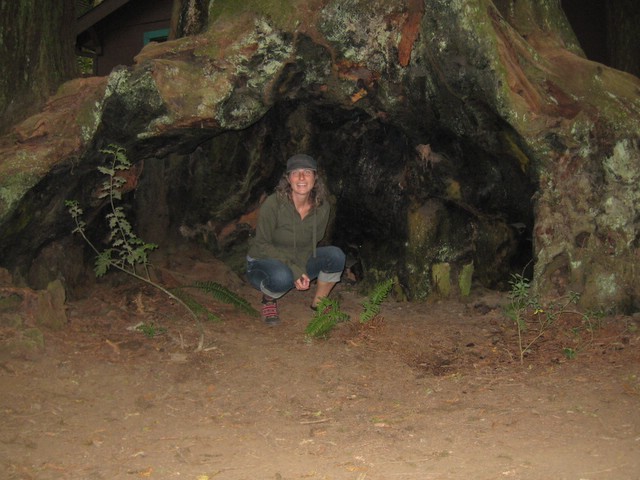
There was this weird hollowed out tree in the campground.
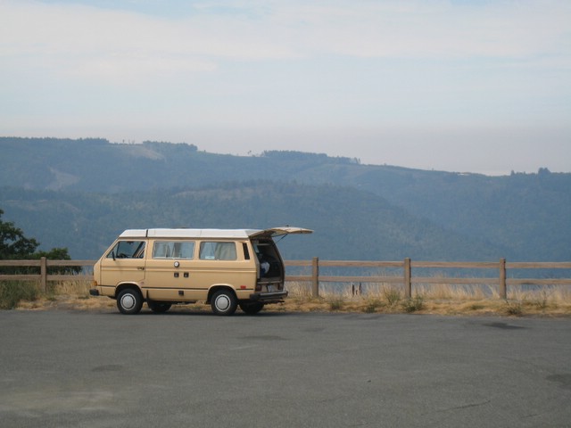
Hitting the coast, it immediately turned cool again - somewhere in the
60's. We could actually see the fog bank as we descended out of the
coastal mountains. If you average out the temperature here with that
along I5, you get something in the mid 80's, so I guess we couldn't have asked
for much better than that.
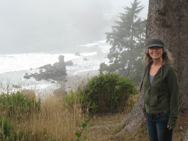
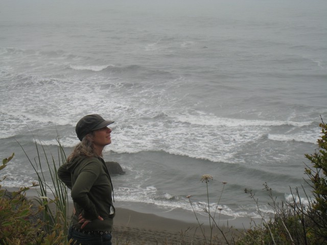
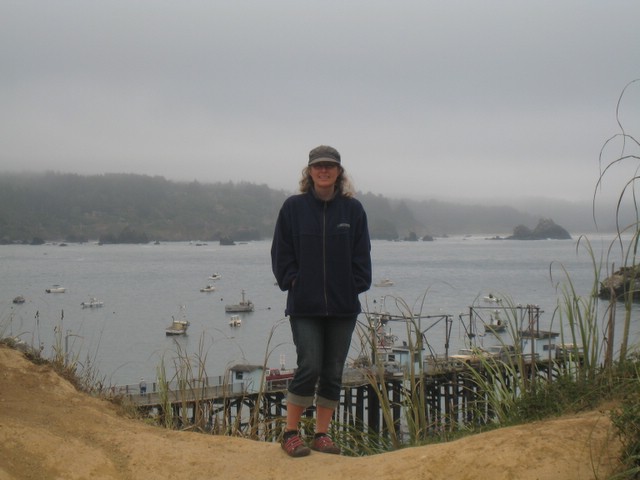
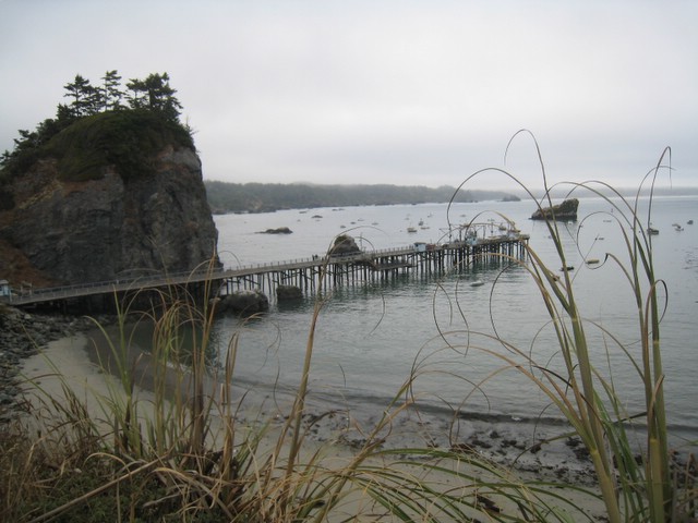
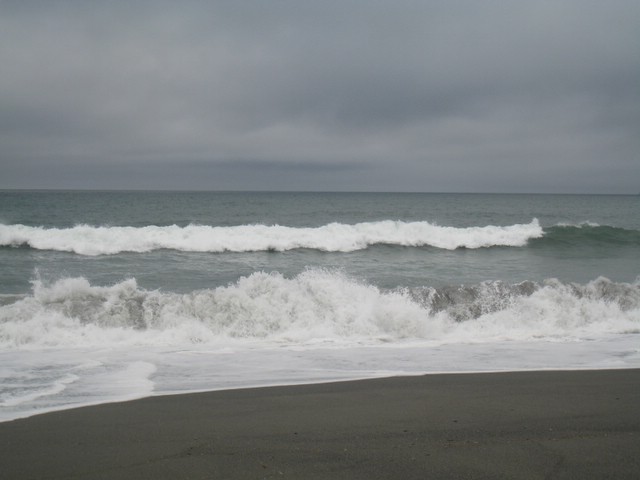
The
town of Trinidad has a great public beach and harbour. We spent a
few hours exploring it and just watching the waves crash in.
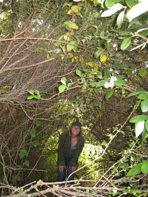
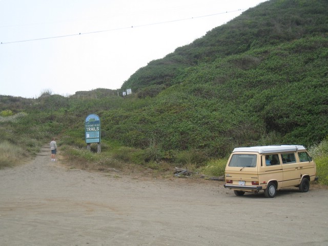
A tunnel through the bushes led down to some secret trails!
Although
heat would have been nice, it's always great to get an opportunity to
stick your toes in the sand and check out the waves.
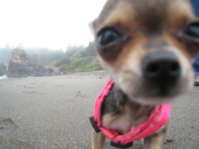
This dog was maybe 4 inches tall.
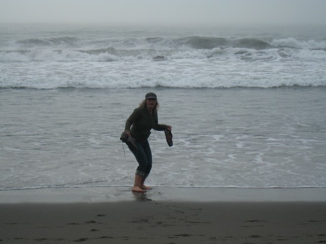
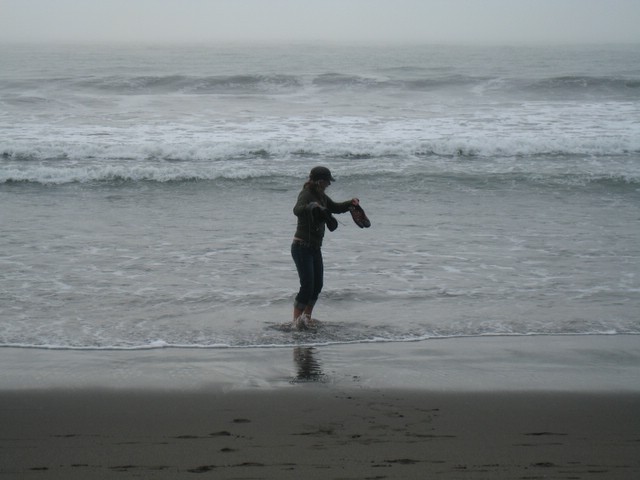
I
wanted to get a picture of Cheryl with the surf in the
background, so I dropped my shoes and ran up the beach to set up the
photo. I didn't plan on the surf coming in a bit and swamping my
shoes! We think it might have been a rogue wave.
Fortunately Cheryl noticed the shoes floating off and risked the
danger to rescue them.
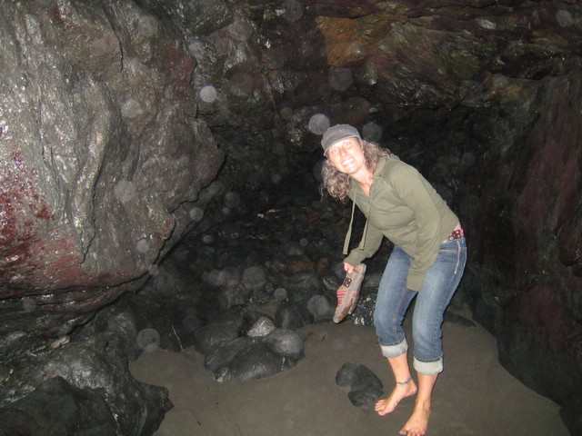
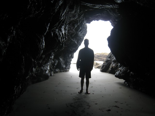
The tide seemed to be out quite a ways and we were able to go right into this cave.
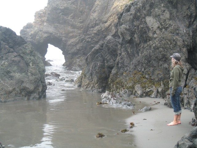
There was a cool natural arch we were trying to hike over towards, but we couldn't quite make it around the last few rocks.
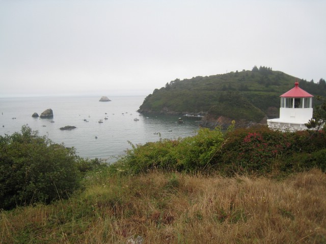
Trinidad
has a lighthouse overlooking the harbour. There are lots of
little boats in the harbour as you can see in the distance here.
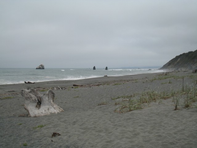
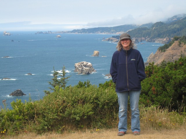
There
are a number of small to medium size boulders just off shore looking
south. Seems like it would be treacherous to navigate during a
foggy day.
There are hiking trails on Trinidad head, but - they were closed due to an alleged bear siting!
A
few more pictures showing the harbour. This town has not been
over run by tourists or people retiring from the 'big city.' It
remained small and quaint.
The
next day we continued north at a slow pace. We stopped several
times to check out the beaches or whatever else looked interesting!
We probably only drove 3 or 4 hours, which gave us lots of time
to enjoy things and also to get off the road early so we could hike
whatever trails they had to offer at the campsite or environs.
That was a good pace to travel at - very relaxing.
This
was another rogue wave. I thought they'd be a bigger deal since
they had signs posted to "watch out" for them, but they weren't so bad.
This was the biggest one in at least 10 minutes - not much of a
threat.
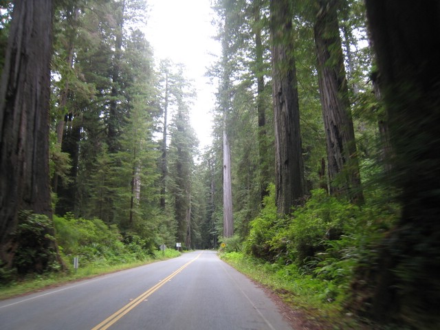
Not long after, we were driving through Redwood National Park. It was really impressive!
We
took a scenic detour (I think the town was called Orick) that
went way up and had a great view of a lagoon. It would be a fun
hill to bike up...although it was raining lightly while we were there
and didn't want to get wet.
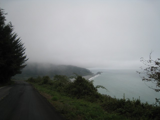
This
was taken pretty much at the border going back into Oregon. You
can see that we did get a little bit of sunshine, but not much.
We kept coming and going through the fog banks. The weather
did not take away from the beauty of the coastline at all.
To continue on to the last page of this section (Port Towsend), click here.
To follow chronologically back through Oregon, click here
|