Saturday,
August 6
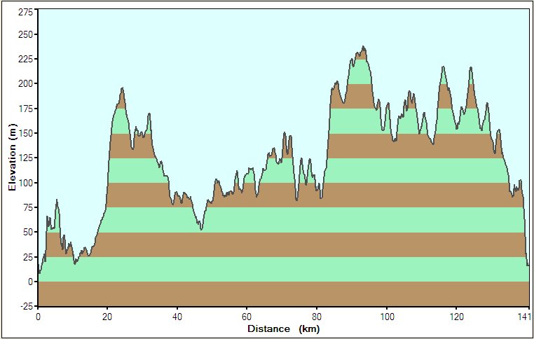
Bike
log: 141.0km, 1329m of vertical, avg. speed 31.2 km/h
August
6 – Argentia to St. John’s (the end!!)
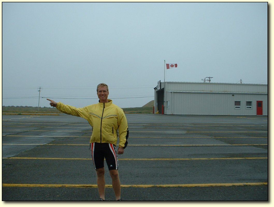
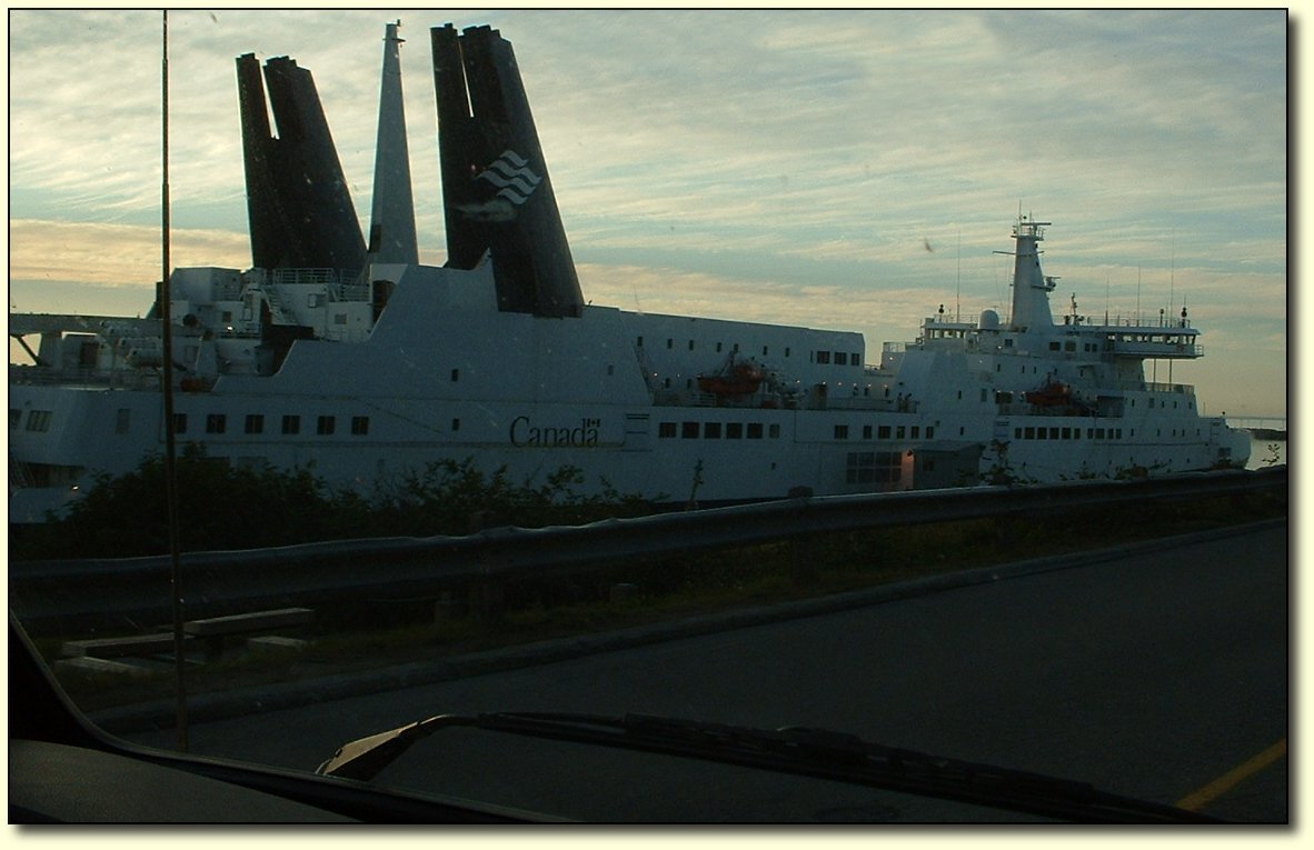
What
a great day, a fantastic way to finish this bike trip! I started from
the ferry terminal at Argentia (seemed like as good a starting place
as any) and biked in to St. John’s. At the terminal, the wind was
absolutely blasting into my face, I thought it was going to be a
really long day. It was also quite cold, foggy, and raining. A proper
Newfoundland day, I suppose!
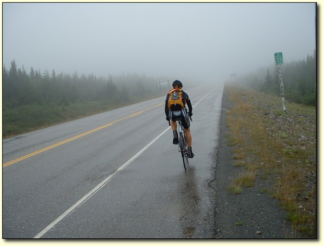
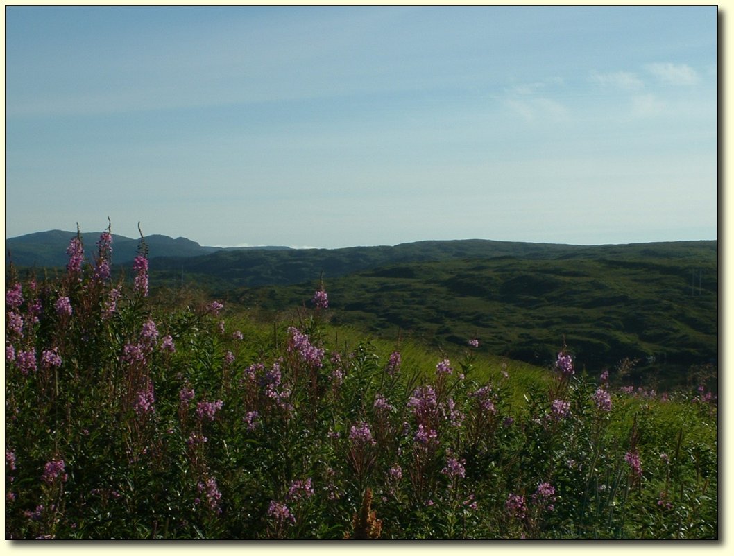
Heading into the wind - but not for long
I was really relieved when the road did
a big turn just a few kilometres along, and the wind was at my back –
and stayed there for pretty much the whole day! The road was also
pretty good, although there were some nasty potholes that needed
avoidance along the highway that lead up to the Trans-Canada.
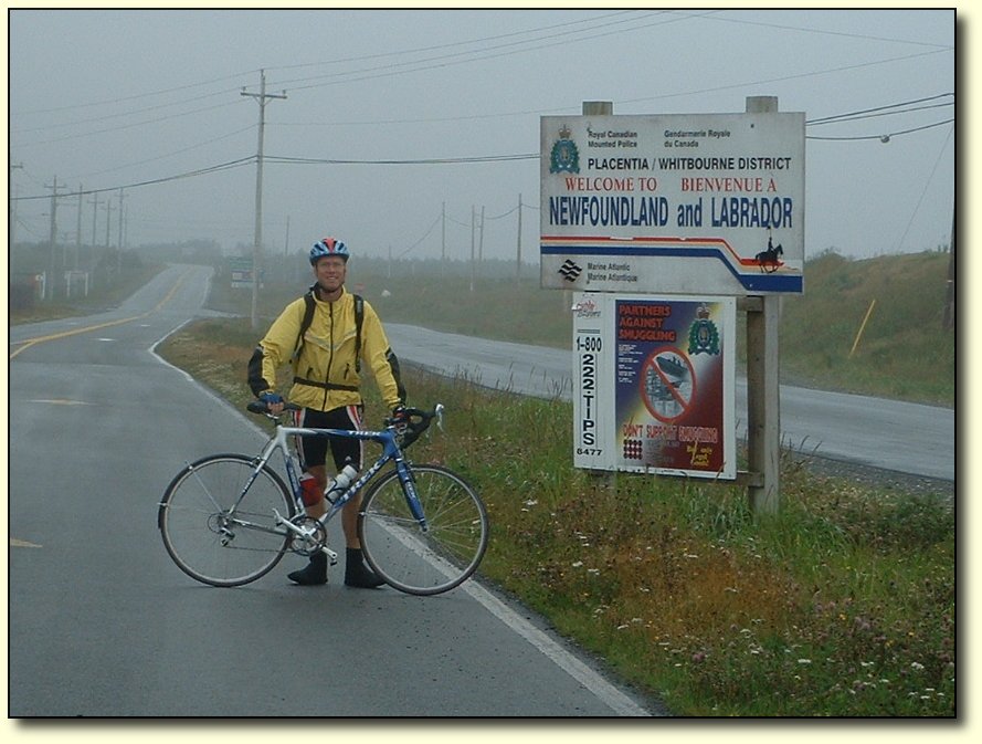
Camping
near Argentia
We
arrived fairly late last night – around 9PM – and stopped at a
motel near the ferry terminal to get a room. However, they were fully
booked up. But the lady at the desk was so nice, she phoned around to
a number of places she knew of in the area (not listed in our tourist
guide book of course), trying to get us a place to stay. Everyone was
booked up, so in the end the lady let us set up camp in their parking
lot for the night, and left the lobby unlocked so we could use the
public bathroom. That's Newfie hospitality!
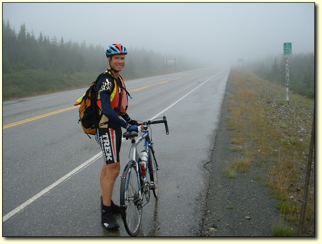
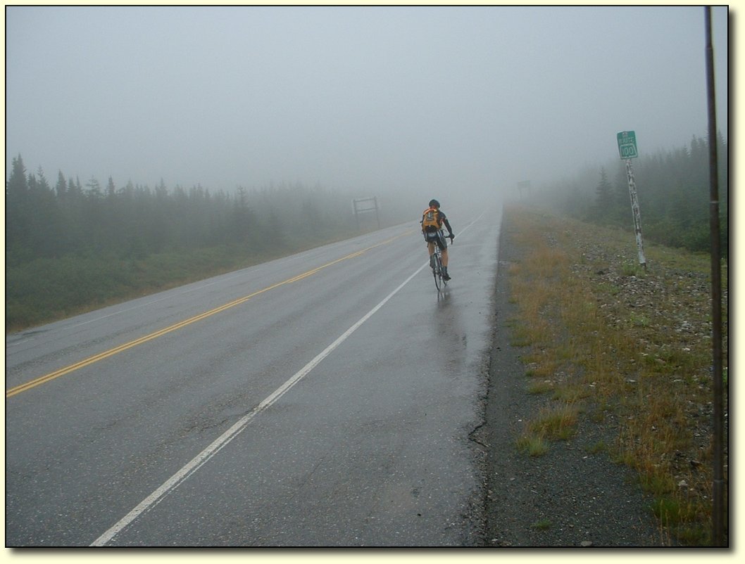
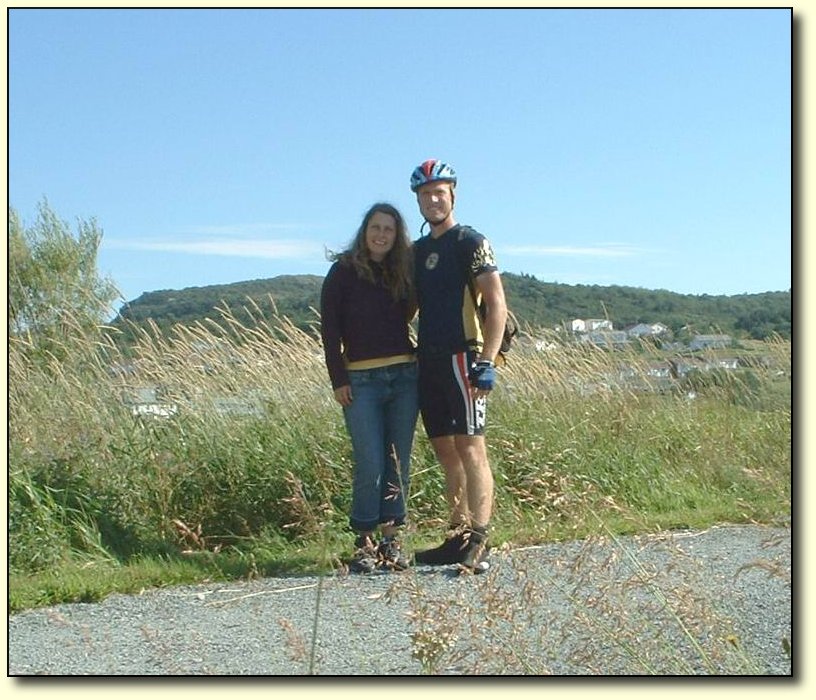
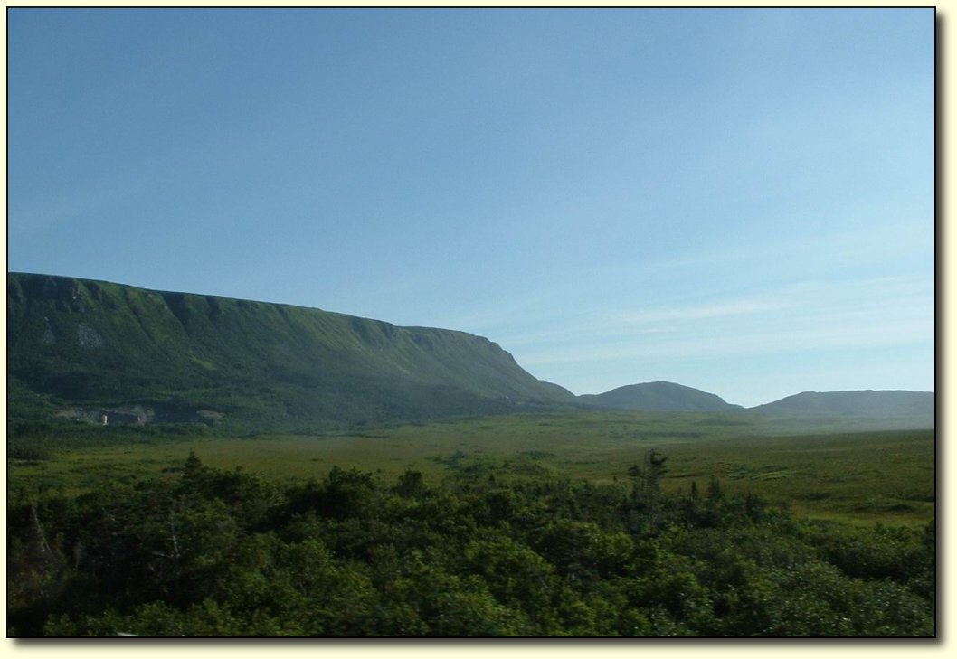
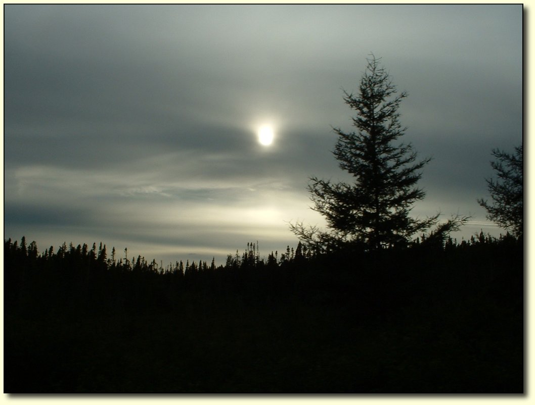
Misty
vision
It
was a very hilly ride in – in fact, today takes 3rd place in terms
of vertical for the whole trip. Only the biggest mountain passes in
BC involved more climbing. I was really loving it though, I am glad
it was a challenging ride to end it up, especially with the huge
tailwind pushing me along. I did not really want the ride to end (in
some ways), and I was glad to see the hills keep coming to delay the
inevitable finale. Even the misty, rainy weather could not put a
damper on things, although it made it hard to dodge potholes as I
could not wear my glasses!
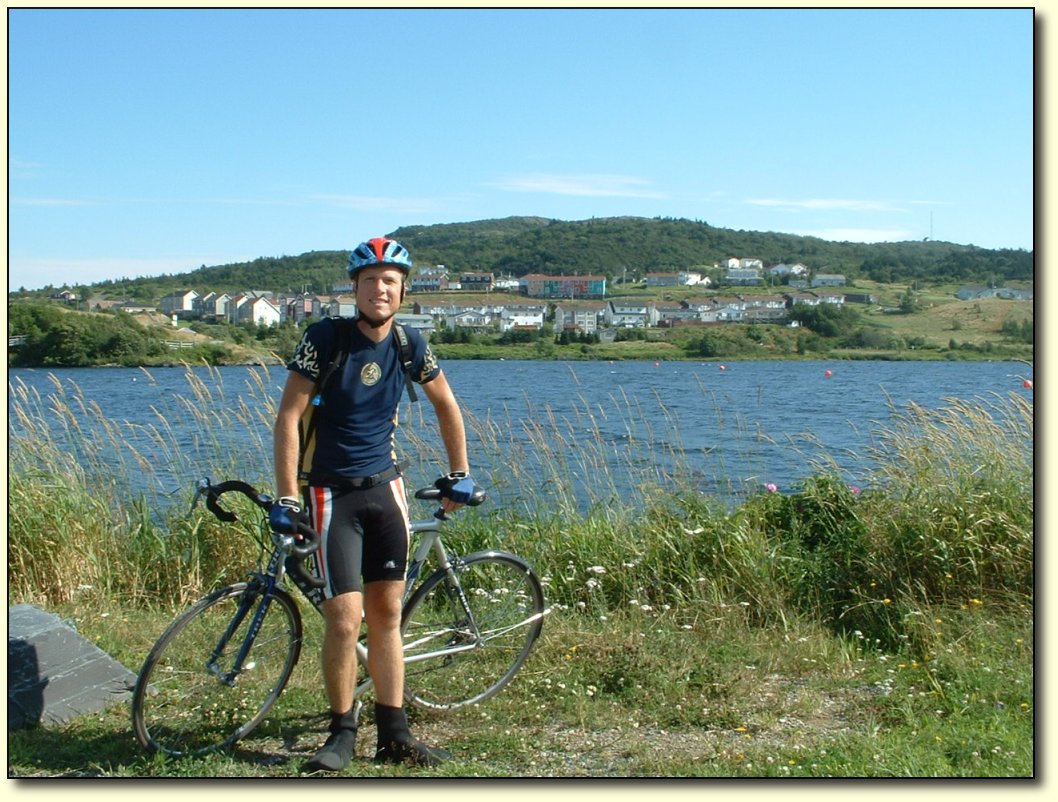
End
of the road
The
weather slowly improved throughout the whole day, and by the end it
was a beautiful summer day. There are 2 main ways to do the last
little bit into St. John’s – follow the Trans-Canada or else take
highway 2. We took the Trans-Canada, assuming it would lead to the
fabled “Mile 0” marker. However, it more or less just petered
out, unceremoniously passing by a landfill site and then into a
residential area, no longer a highway but now just a plain old
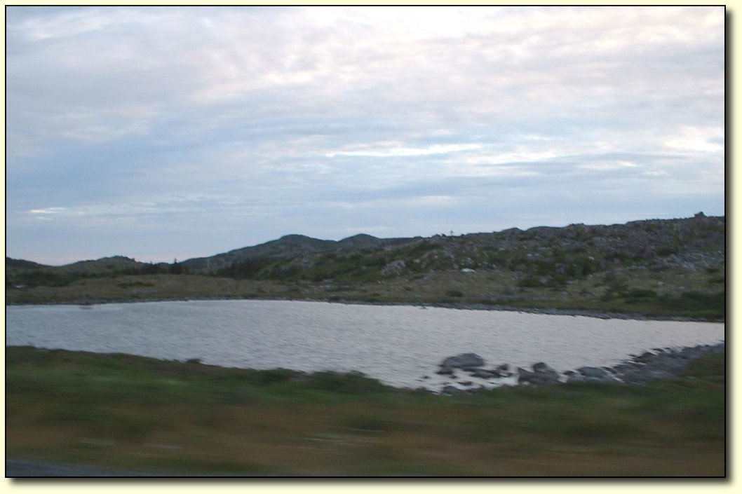
street. But at last the road ended at a T-junction and we had water!
We
could not find any sort of indication that this is the start (or end)
of the road, but we were sure we had arrived at it. Later, we found
that we had overshot St. John’s by a few kilometres, and this was
in fact not the ocean but a small lake. Also, the “Mile 0” marker
is nowhere near the end of the Trans-Canada highway but is instead
tucked away fairly obscurely downtown.
But fortunately there is no
official rule book on where you have to stop or start, and this was a
really beautiful place to stop and take some photos! So we took some
of us, along with the vehicles that got us here. And so it is the end
of the trip east for us.
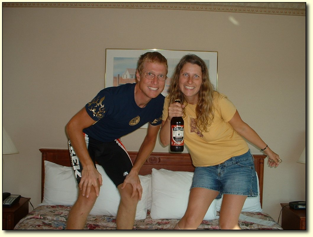
Celebration!
People
in Victoria may recognize this as a bottle of IPA from Swan’s. No,
it is not for sale here, but instead we ferried it here in the van.
Appropriate, since it was a gift from the “beer fairies” back in
Victoria. There were 2 bottles presented to us for good luck when we
left. The first was consumed at the halfway point, and the second,
well, it won’t make it through the night!
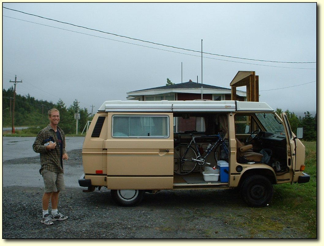
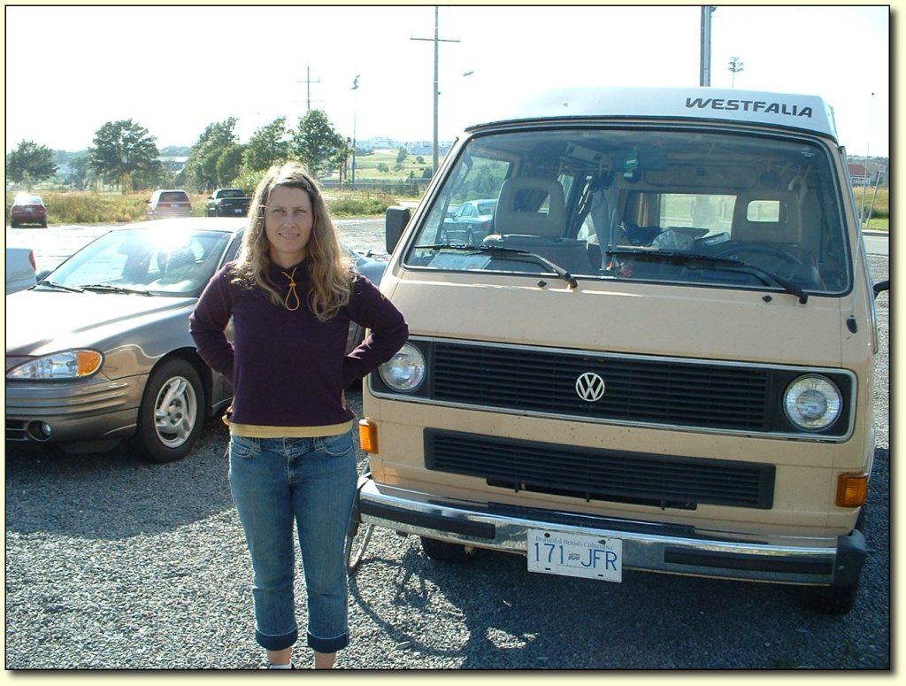
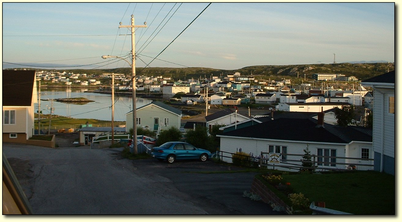
We
have 3 more days in Newfoundland until our ferry reservation (we can
make those kinds of things now) and plan to spend a day in and around
St. John’s and then start heading back to Port-aux-Basques (the
Argentia ferry is still fully booked). We're looking forward to it -
it's a really cool looking town!
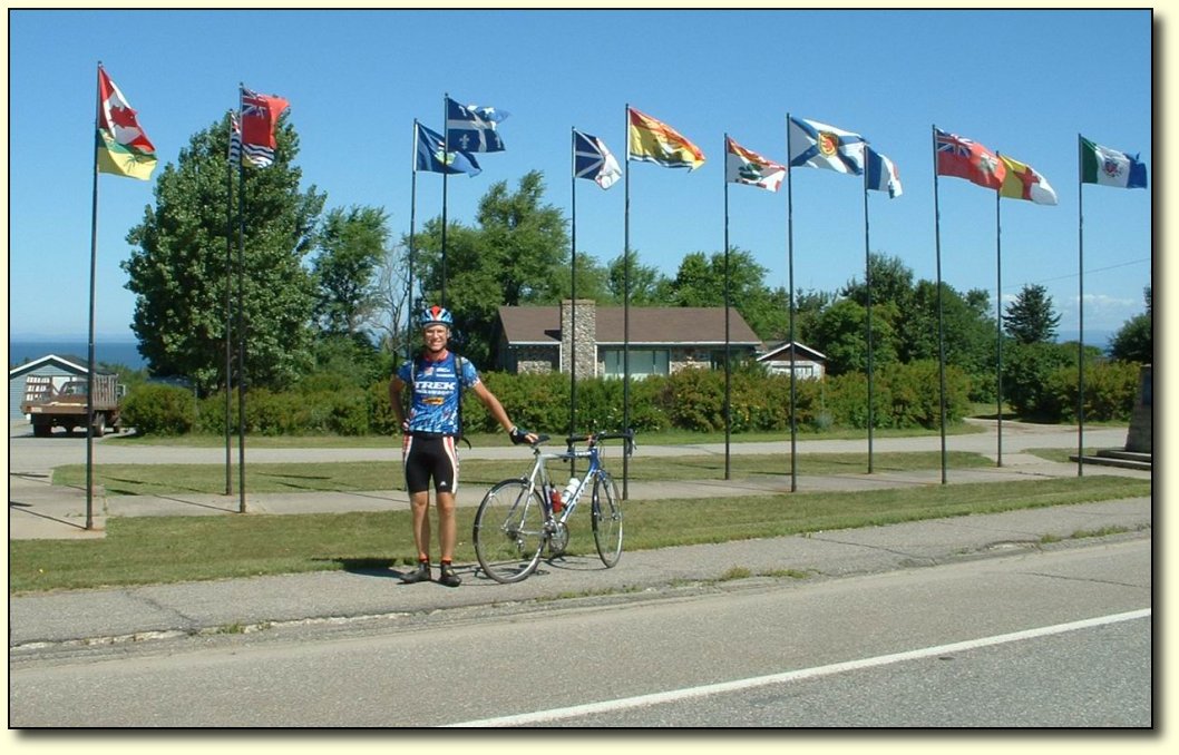
Flags
We
got this photo one day in New Brunswick – it was a good opportunity
to get the flags of Canada and all the provinces (and territories
too). A nice windy day too, to fly the flags, and it was going the
right direction!
Some
wrap-up stats. The trip here was 7154km long, included 39,480m of
vertical ascent, and took 67 days. We took 11 rest days, 1 sick day,
and 4 or 5 short riding days. In all, I peddled for 251.7 hours at an
average speed of 28.4 km/h. There were 29 days of mostly headwinds,
15 days of mostly tailwinds, and the rest were mixed or calm. We went
through 8 major construction zones and 4 and a half time zones. We
traveled through 20% of the longitude of the earth.
The
trip back will be much faster, but far from instantaneous in a van
that doesn’t like to do more than 95 km/h! We plan to try to see a
few of the things and places we didn’t get a chance to see on the
way here, and I plan to keep updating this journal from time to time
with the things we see.
|


